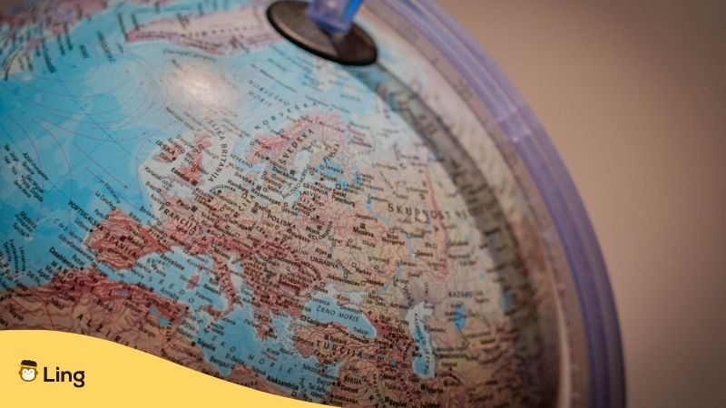
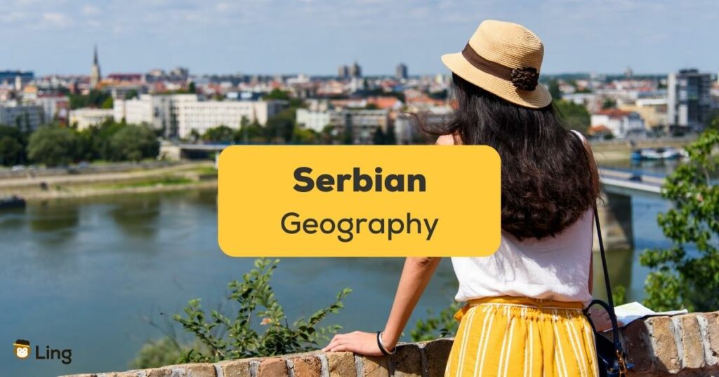
Let’s talk about Serbian geography! Serbia is a fascinating landlocked country located in the Balkan region of southeastern Europe. It’s a melting pot of central and southern Europe, making it a crucial crossroads of cultures and history. Serbia shares its borders with eight neighboring countries, including Montenegro, Bosnia and Herzegovina, Croatia, Hungary, Romania, Bulgaria, North Macedonia, and Albania. With an area of 88,361 square kilometers, Serbia is the 117th largest country globally, but don’t let its size fool you! Want to learn more about it and the related Serbian words? Let’s begin!
The geography of Serbia is diverse and awe-inspiring. The country boasts vast plains, rolling hills, and towering mountains. The Danube and Sava Rivers define the country’s geography and serve as its primary waterways. But if you think those are great, wait till you hear about how great Serbia’s agriculture is!
One of the most significant natural resources of Serbia is its fertile land, which supports a variety of crops, including wheat, corn, and sunflowers. The country’s climate varies across its different regions, with the northern part of the country experiencing a continental climate while the south has a more Mediterranean climate. Serbia experiences cold winters and hot summers, with rainfall distributed evenly throughout the year.
So whether you’re a nature lover or a history buff, Serbian geography has something for everyone. So, let’s embark on a journey to explore the physical features, climate, and natural resources that make Serbia a unique and exciting country!
Serbian Geography
After World War I, Serbia was a part of Yugoslavia, but following World War II became subdivided. Because Serbia did not achieve proper independence until 2006 and it’s split with Montenegro, the country claims a place as one of the youngest nations on the planet.
Physical Features
Serbia is a landlocked country with a varied topography. The country is situated at the crossroads of Central and Southeastern Europe, and its physical geography reflects the diverse influences of these regions. The terrain includes ancient mountains, rich fertile plains, deep river valleys, and stunning natural lakes.
Central Serbia
Central Serbia is dominated by the Danube River, which flows through the country from west to east. The Danube River Valley is a wide plain that covers a significant portion of Serbia’s central region. The valley, with its fertile plains, is a vital transportation artery and an important agricultural region. The surrounding hills and plateaus provide fertile ground for growing crops and raising livestock.
The South
To the south of the Danube River Valley is the Balkan Mountains, a range that stretches across Bulgaria, Serbia, and Romania. The Serbian portion of the Balkan Mountains is known as the Stara Planina range. The highest peak is Botev Peak, which is 2,376 meters above sea level. The Stara Planina range has diverse flora and fauna, including beautiful bears, wonderful wolves, and incredible eagles.
The more mountainous southern regions are dominated by the Dinaric Alps, a range that extends from Italy to Albania. The Serbian portion of the Dinaric Alps is known as the Prokletije range. The highest peak in the range is Maja Jezercë, which elevates to 2,694 meters. The Prokletije range of southern Serbia is home to some of Europe’s most beautiful and unspoiled wilderness areas, including the Rugova Canyon and the Valbona Valley National Park, which are popular for those seeking some outdoor adventure.
The West
In the west of Serbia, the Šar Mountains form the border with Kosovo. The highest peak in the range is Titov Vrv, at 2,748. The Šar Mountains are home to several glacial lakes and are a popular destination for hikers and skiers.
The East
Finally, in eastern Serbia, the Carpathian Mountains form the border with Romania. The highest peak in the range is Moldoveanu Peak, which climbs to 2,544. The Carpathian Mountains have several national parks, including the Retezat National Park and the Bucegi Natural Park. The east is also known for its limestone ranges. An influence on the climate in this part of the country is Košava, a wind that originates in the Carpathian mountains and sweeps down the Danube valley, achieving a jet effect as it passes through the Iron Gates and heads towards the capital city of Belgrade. Košava lasts for around three days, creates very high winds, and can cause a drastic change in temperature.

Climate
Serbia has a continental climate with hot summers and cold winters. The climate is influenced by its location in the Balkan Peninsula and its proximity to the Mediterranean Sea and the Atlantic Ocean. The Danube River Valley and the central plain have a humid subtropical climate, while the mountainous regions have a more alpine climate. The country’s north has a more continental climate with hot and humid summers and cold winters. In the south of Serbia, the winters remain relatively cold, with snow falling in the mountain ranges. The summer and autumns here are drier than in the rest of the country, where rainfall patterns are more well-distributed.
Rainfall And Temperatures
The average temperature in Serbia is around 11°C, ranging from -1°C in January to 22°C in July. The country receives an average of 700-800 millimeters annually, with the highest precipitation in the mountains. The south of Serbia has a Mediterranean climate.
Natural Resources
Serbia’s geography is rich in natural resources, including minerals, energy resources, and agricultural land. The country has significant reserves of copper, zinc, lead, and gold and is one of Europe’s largest copper producers. Other minerals found in Serbia include iron ore, bauxite, and coal.

When To Visit
Serbia gets stiflingly hot from June to August, so the best time to take a trip is from March to May and then from September to October. The winters can also get a bit chilly. It is also worth noting that, unusually for a European country, Serbia has a high risk of natural hazards, including droughts, floods, storms, and earthquakes. However, don’t let this put you off from traveling to Serbia, as the country is still inundated with tourists, and you can explore without having to contend with the crowds.
Serbia Geography Vocab To Use When You Visit
Improve Your Serbian With Ling App
Learning Serbian doesn’t have to be a chore with the Ling app. Although the Cyrillic alphabet can be a little intimidating, the Ling app keeps it simple and allows you to learn at a pace that suits you. Ling also keeps things fun with games and quizzes. So, what are you waiting for, step up your Serbian, or any other language from the more than 60 on offer, at Google Play or App Store today.


