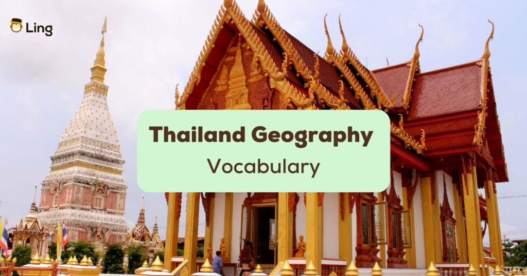
Need a quick 101 on learning Thai? Then the Thailand geography vocabulary is a good place to build upon your Thai learning skills. In this blog, we are going to learn about the geography of Thailand while simultaneously learning the useful terms related to this topic. Come, let’s get started!
Thailand Geography Vocabulary
Before we get down to business, let’s start the post with the basic terminologies you’ll encounter when discussing this topic. See our epic list below!
Thailand’s Terrain And Topography
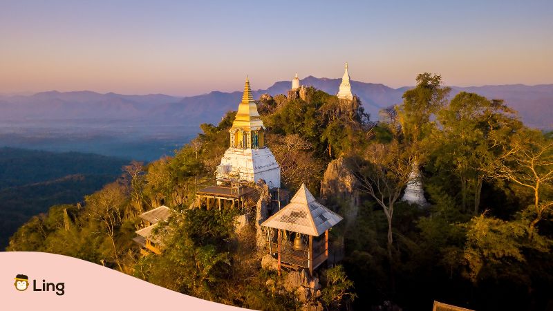
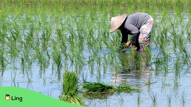
The varied geography of Thailand is one of the many factors that make it the most visited country in Southeast Asia. Its strategic location in the region makes it a composite landscape of forested mountains, fertile river plains, sandy beaches, and dry plateaus. Its mountain ranges extend along the border with Myanmar and down to Malaysia. One of its significant features is the wet rice cultivation facilitated by the country’s central river system – the Chao Phraya river.
Topographically though, Thailand is divided into six geographical regions based on natural features, namely north, northeast, central, east, west, and south regions. Let’s know a bit more about them.
#1 Northern Thailand
The northern region of the country is home to mountainous terrain. Here you can find the Daen Lao range (ทิวเขาแดนลาว) situated in the southern region of the Shan Hills. The Dawna range (ทิวเขาดอยมอนกุจู) forms the western border of Thailand, while the Thanon Thong Chai range (เทือกเขาถนนธงชัย) is situated in the north part. The Khun Tan range (ดอยขุนตาน), the Phi Pan Nam range (ทิวเขาผีปันน้ำ), and western part of the Luang Prabang range (ทิวเขาหลวงพระบาง) are some other prominent ranges. These forested mountains ring what is known as the Thai highland.
Steep river valleys are formed by the rivers Nan (แม่น้ำน่าน), Ping (แม่น้ำปิง), Wang (แม่น้ำวัง), and Yom (แม่น้ำยม) in the low-north and the upper central plain areas of the country. The Nan and Ping rivers merge to become the Chao Phraya river (แม่น้ำเจ้าพระยา), supporting wet rice cultivation.
#2 Northeastern Thailand
The northeast region consists of the extremely flat and dry northeastern plateau called the Khorat Plateau (ที่ราบสูงโคราช) and the low, rocky hills comprising the Phu Phan Mountains (เทือกเขาภูพาน). The Kok (แม่น้ำกก) and Ing (แม่น้ำอิง) rivers form the Mekong river basin (ลุ่มน้ำโขง) in this region. But unlike the north region, the soil in this region is not suited for agriculture save for the sticky rice that is harvested in poorly drained paddy fields.
#3 Central Thailand
The central region of Thailand is often called ‘the rice bowl of Asia’ thanks to the vast paddy fields facilitated by the Chao Phraya delta (เจ้าพระยาเดลต้า). The water from the river is distributed throughout the central plains via canals or Klongs (คลอง). The central plains are the country’s most fertile areas, with a flat, unchanging landscape. Courtesy of the self-contained natural basin or the rice bowl, the central plain area developed into the major economic hub of the country, with the metropolitan Bangkok (กรุงเทพฯ) located in it.
#4 Eastern Thailand
The geography of the east region is ensconced in between short mountain regions like the Sankamphaeng Range (เขาสันกำแพง), the western end of the Cardamom hills (ทิวเขาบรรทัด) and the Gulf of Thailand (อ่าวไทย). The area is home to the Bang Pakong river basin (ลุ่มแม่น้ำบางปะกง) – a geographical feature created by the Sankamphaeng mountains and the Khorat plateau. The east coast shares international borders with Cambodia.
#5 Western Thailand
Just like the northern region, the western border hosts high mountain ranges and steep river valleys, and much of Thailand’s less-disturbed forest areas. The west coast is characterized by the Tenasserim Hills (เทือกเขาตะนาวศรี), sharing the Thai border with Myanmar. Water and minerals are important natural resources in this region.
#6 Southern Thailand
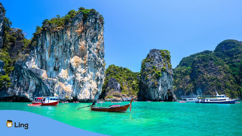
The southern edge, marked by a narrow peninsula (คาบสมุทร), is the southernmost region of the country. Peninsular Thailand has the most distinct terrain and climate and boasts a tourism-based economy with significant tourist destinations like Phuket, Krabi, Ko Samui, and Phi Phi islands.
5 Interesting Facts About Thailand
Want to know some more exciting stuff about Thailand and its geography? Here are some trivia that can soothe your curiosity.
- Thailand is the second largest nation in Southeast Asia.
- Due to its geographical location, it has a tropical monsoon climate.
- The Western region is home to many of the country’s major dams.
- Thailand controls the only land route from Asia to Malaysia and Singapore.
- The Thai border is shared with Cambodia, Myanmar, Laos, and Malaysia.

Learn Thai With Ling
Whew! What an interesting way to learn some Thai vocabulary, right? Thailand is one of the top most visited countries in the world, especially in Southeast Asia. It would be a pity not to add some Thai in your language kitty as you travel across borders. And doing so ain’t that difficult! Our advice? Learn Thai using Ling!
The Ling app brings together tools and techniques for easy language learning through a variety of its features – a gamified interface, interactive exercises, and fun quizzes. I am absolutely sure that once you get hooked on to it, there won’t be any looking back. So, without further ado, go to your Google Play Store or Apple App Store and download the Ling App for free now!